Landscapes of the harbour of Ghent and Zeeland
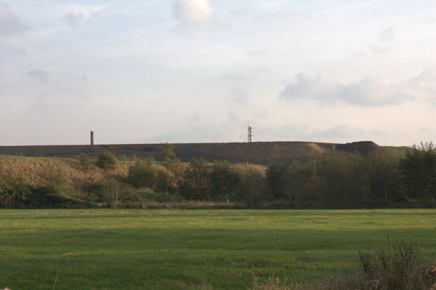
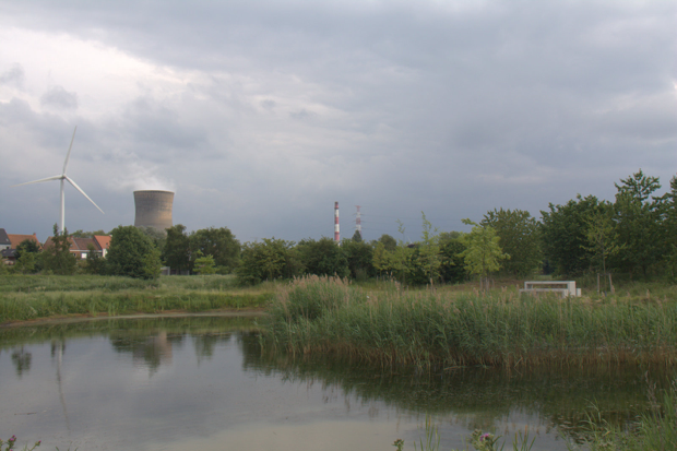
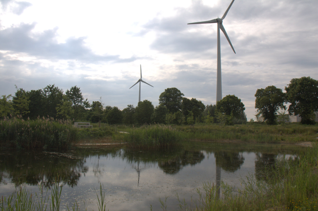
In the 19th century, Ghent imported the industrial textile industry from England and expanded rapidly as an industrial port. Successive phases of urbanisation are clearly recognisable. We cross the different historical industrial layers of the city to the rural countryside and industrial landscapes west and north of the city. At the outer urban fringe, the character of the traditional rural landscapes of the Flemish sandy region can be studied. It is a gently undulating sandy plain with dry sandy soil forming the ridges of open fields (called ‘kouter’), alternating with parallel depressions with poorly drained soils and locally peat formation, characterised by a more enclosed landscape (former ‘bocage’ type called ‘bulken’ and ‘houtland’). Several heritage elements are still preserved and the main structure of the current landscape still witnesses from the 18th century pre-industrial situation, such as moated sites and green villages. We move to the north following the interface between rural and urban and the industrial harbour zone. The long stretching harbour is a mixture of functions, also including renewable energy, recreation, heritage and examples of newly designed green infrastructures buffering the surrounding harbour area. Near the border with The Netherlands, we come in the more recent landscape of the reclaimed polder land with very different characteristics. Simultaneously, the differences between planning and landscape management between the two countries will become obvious. The excursion will end in Terneuzen (The Netherlands) with a view on the estuary of the river Scheldt.
|
Organisation: |
Veerle Van Eetvelde (Department of Geography, Ghent University) |
|
Format: |
Bus trip with short walks on the different stops |
|
Duration: |
Half day (afternoon). This excursion leaves at 13h30 in front of the station of Ghent Dampoort and will be back around 18h30. |
|
Max. Participants: |
40 |