The transborder landscapes of western part of Belgium and the north west of France
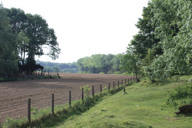
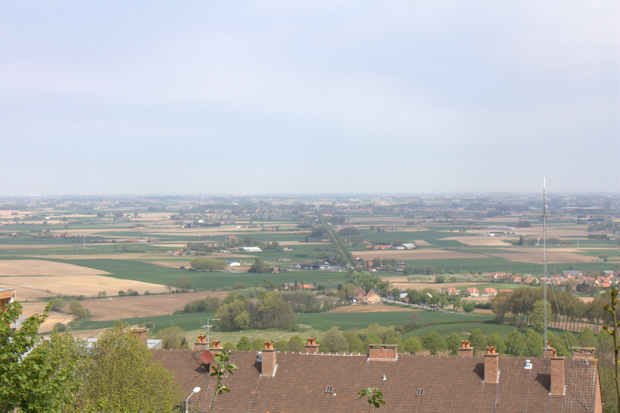
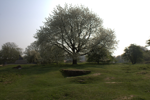
The excursion explores the landscapes in the most western part of Belgium and the north west of France, focussing upon the transborder similarities and differences. The regional landscape types are mainly differentiated by the natural conditions of geology and geomorphogenesis, and of common history in a political frontier zone and successive battlefields. Historically, the whole area belonged to the county of Flanders and was a Dutch (Flemish) speaking region. The French king Louis XIV incorporated a part definitively to France, thus fixing the actual border between France and Belgium. The borders zone was defended by the pré carré of Vauban and many town became fortified while the traditional ancient hedgerow landscape was clearing. During the Great War (1914-1918), the hills of Flanders were the front between the Allies and the Germans. The landscape was wiped away completely along this Ypres Salient and became known as Flanders Fields. Much of the older traditional landscape was conserved in the French part. Around the historic town of Cassel, even traces of the Roman land consolidation are kept. The main landscape contrast is between the hilly land of the interior and the coastal zone. The interior is a gently rolling hedgerow landscape of a specific type called Flemish bocage or Houtland, which is suffering now agricultural industrialisation. The coastal zone is initially reclaimed polderland, differentiated in the dune belt now largely built up with industrial harbours and tourist accommodation forming a strong contrast with the polder behind.
|
Organisation: |
Marc Antrop & Hanne Van den Berghe (Department of Geography, Ghent University) |
|
Format: |
Bus trip with short walks on the different stops |
|
Duration: |
Full day, lunch will be provided in the city of Ieper. This excursion leaves at 8h00 in front of the station of Ghent Dampoort and will be back around 20h. |
|
Max. Participants: |
40 |